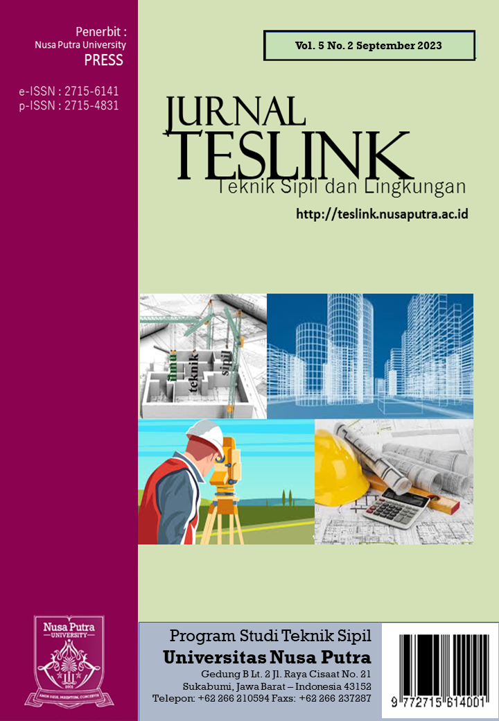
Main Article Content
Abstract
Landscape Design of Cijulang Estuary Based On Coastal Resilience as Special Interest Ecotourism. Developing countries, including Indonesia, are currently demanding economic acceleration, demanding that more natural resources be exploited such as industrial development, ports and other infrastructure which are indicators of increased economic activity. Increased economic activity like this has contributed to accelerating damage to the estuary area, especially in Cijulang District, which is a coastal area and there are mangrove forests which are currently being affected by economic growth. The aims and objectives of this design thesis are to provide direction on spatial use in estuary areas that are based on spatial resilience of coastal areas . The design method in the Cijulang estuary area uses guidelines from La-Gro and Coastal Resilience , namely how to respond to social, response to tides, response to abrasion and siltation mitigation and response to economic activity on the environment. the estuary area began to be degraded, so the concept of ecoventour land design for resilience was developed which has four principles, namely ecological landscape, resilience, working productive landscape and adventurism which are implemented into the landscape design of the Cijulang estuary area with a scheme to change the spatial layout system which is considered to have violated regulation of estuary boundaries by proposing to return the green belt area to mangrove forest, proposing a pond system using silvofishry and developing potential outdoor spots to be used as special interest ecotourism (EMK) by developing facilities that can support the sustainability of mangrove conservation tourism as a form celebrate nature. These four principles are embodied as a spatial system in which there are guidelines and policies for the use of estuary areas such as determining protected and cultivated areas which can later control developments in the Cijulang estuary. The micro-scale design is carried out by proposing a design that focuses on four zones, namely: 1. Tourism Hub Zone 2. Lagoon conservation zone 3. River front park and observatory deck zone 4. Estuary Protection Zone
Keywords
Article Details

This work is licensed under a Creative Commons Attribution-ShareAlike 4.0 International License.
Authors who publish with Jurnal TESLINK : Teknik Sipil dan Lingkungan agree to the following terms:
- Authors retain copyright and grant the journal right of first publication with the work simultaneously licensed under a Creative Commons Attribution License (CC BY-SA 4.0) that allows others to share the work with an acknowledgment of the work's authorship and initial publication in this journal.
- Authors are able to enter into separate, additional contractual arrangements for the non-exclusive distribution of the journal's published version of the work (e.g., post it to an institutional repository or publish it in a book), with an acknowledgment of its initial publication in this journal.
- Authors are permitted and encouraged to post their work online (e.g., in institutional repositories or on their website) prior to and during the submission process, as it can lead to productive exchanges, as well as earlier and greater citation of published work.

Jurnal TESLINK : Teknik Sipil dan Lingkungan is licensed under a Creative Commons Attribution-ShareAlike 4.0 International License.
References
- Bambang Triatmodjo, (1999), Teknik Pantai, Beta Offset, Yogyakarta
- Beller E., Robinson A., Grossinger R., & Grenier L. (2015). Landscape Resilience Framework: Operationalizing ecological resilience at the landscape scale. Prepared for Google Ecology Program. A Report of SFEI-ASC‟s Resilient Landscapes Program. California, CA: San Francisco Estuary Institute.
- Bengen, D.G. (2000). Ekosistem dan sumber daya alam pesisir. Pusat sumber daya pesisir dan lautan, Institut Pertanian Bogor. Bogor
- Bjork P. (2000). Ecotourism from a Conceptual. Int. J. Tour. Res. 2:189– 202.doi:10.1002/(SICI)1522 1970(200005/06)2:33.3.CO;2-K.
- Blangy S, Mehta H. (2006). Ecotourism and ecological restoration. J. Nat.Conserv. 14(3–4):233–236 doi:10.1016/j.jnc.2006.05.009
- Brown, B. (2006). Lima Tahap Rehabilitasi Mangrove. Petunjuk Teknis Rehabilitasi Hutan Mangrove. Yogyakarta: Mangrove Action Project dan Yayasan Akar Rumput Laut Indonesia
- Fandeli, C. (2002). Perencanaan Kepariwisataan Alam. Fakultas Kehutanan Universitas Gadjah Mada, Bulaksumur, Yogyakarta
- Kusmana, C. (2005). Rencana Rehabilitasi Hutan Mangrove dan Hutan Pantai Pasca Tsunami di NAD dan Nias. Makalah dalam Lokakarya Hutan Mangrove Pasca Tsunami. Medan
- LaGro, J. A. (2001). Site Analysis, A Contextual Approach to Sustainable Land Planning and Site Design, Second Edition, U.S.A., John Wiley & Sons, Inc.
- Peraturan Menteri PUPR Nomor 28/Prt/M/2015 tentang Penetapan Garis Sempadan Sungai dan Garis Sempadan Danau
- Miasto, Yudha (2010). Kajian Potensi Mangrove Dalam Pengembangan Silvofishery Di Kabupaten Tulang Bawang, Propinsi Lampung
- Nofianto D. (2008). Krisis Hutan Mangrove, Lampung Makin Terancam. Kabar Indonesia. Lampung
- Rahmawati, Atika (2022). Potensi pengembangan ekowisata mangrove batukaras, kabupaten pangandaran provinsi jawa barat, Indonesia
- Surat Keputusan Bersama (SKB) Menteri Pertanian dan Menteri Kehutanan No. KB 550/264/Kpts/4/1984 dan No. 082/Kpts-II/1984 tentang Kawasan Sabuk Hijau
- WWF-Indonesia DK dan P dan. (2009). Prinsip Dan Kriteria Ekowisata Berbasis Masyarakat. Ekowisata.:1–9
